Protected Areas
Explore Central Alberta's Protected Areas
Explore Central Alberta's Protected Areas
RULES AND AMENITIES FOR ALL PaRKLAND AREAS
|
Rules:
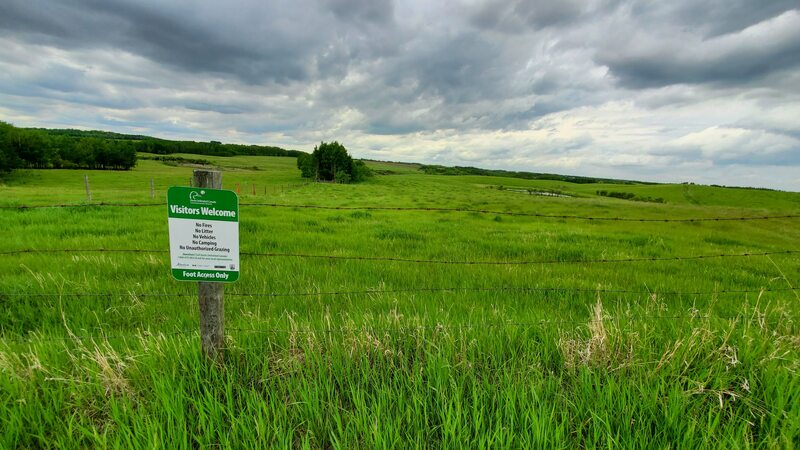
Hiking allowed Day use only No open fires Foot access only Dogs: Please note that protected areas are some of the last remaining places where wildlife can live their lives in peace. Dogs frighten, chase and even kill wildlife. Please respect the wildlife and do NOT bring your dog (leashed or unleashed) to these areas. Hazards: livestock may be present intermittently on some sites, leave gates as you find them. Consent Prior to Entry: May be required on some sites (dogs must be under control, preferably on a leash, at all times). |
Amenities:
Bathrooms: Most have no bathrooms available, there are some exceptions Trash: Most have no garbage facilities. Please bring your trash home. Parking: Most have limited parking, or parking along ditches near area Hazards: Tripping and falling, wild animals - be prepared, bring bear spray. |
Burns Nature Park (26 km)
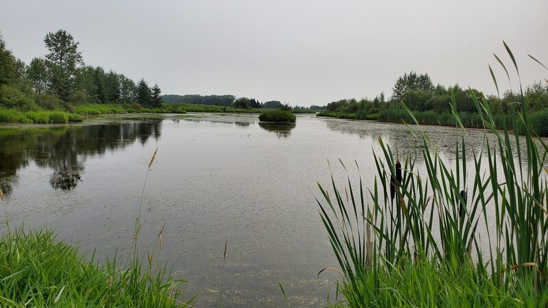
Burns Nature Park, a 20-acre nature sanctuary, was generously donated to Lacombe County by James and Patricia Burns. The Burns family recognized the environmental worth of their family property and made the choice to open it to the public for enjoyment. Lacombe County now takes pride in being the park's dedicated owner and steward, providing visitors with hiking trails, breathtaking Sylvan Lake views, informative signage, and seating areas. The park features a poplar forest, riparian shoreline, and a wetland area teeming with diverse plant and animal species that are representative of Sylvan Lake's surrounding terrestrial ecosystem.
Access: Head west on Aspelund Road/Township 39-4 for 5.3 km from Highway 20.
Partners: Lacombe County
Alberta Discover Guide: N/A
Stonhouse (26.3 km)
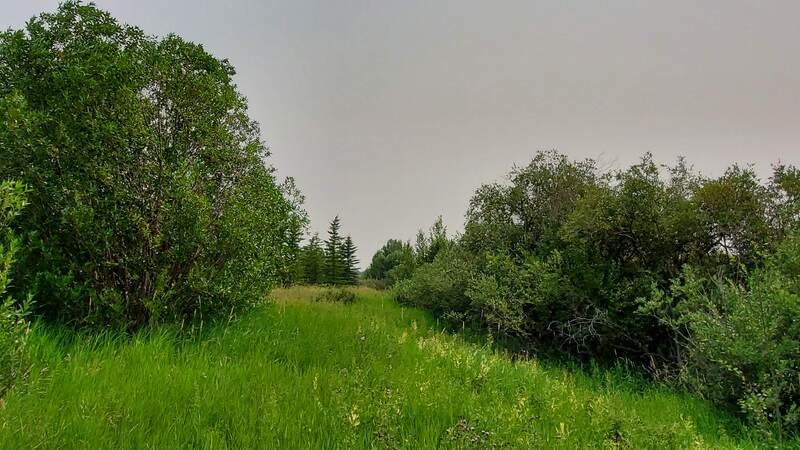
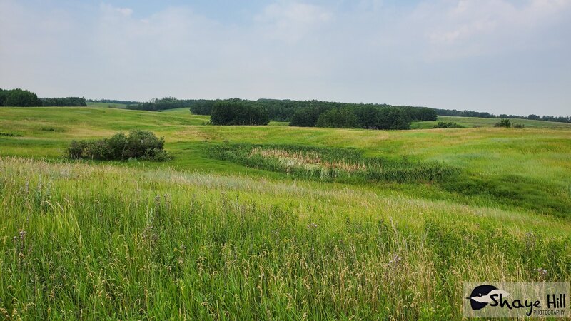
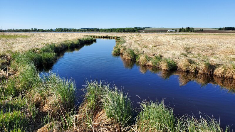
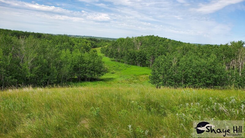
Situated right across the road from Ghost Pine General Store, these four quarter sections make a great Central Parkland location for many excursions throughout this area. This site encompasses aspen-covered rolling hills, open meadows and an abundance of wetlands. From mid-July to August, the area offers a delightful opportunity for Saskatoon berry picking, along with the presence of chokecherries.
Access: There are four approaches on the North side (Township Road 370), two along Highway 816 and two more along Highway 42 on South side. To find suitable parking, continue traveling east until reaching Township Road 370, where you can park along the ditch.
Partners: ACA, AFGA, DUC
Alberta Discover Guide: E3-42
Nova Chemicals Community Nature Trail (26.4 km)
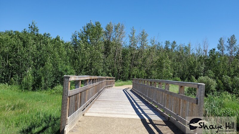
This property holds an expanse of 200 acres and largely consists of grassland with young aspen groves. Where forests emerge, the groundcover is dense, providing ideal habitat for weasels and snowshoe hare. This property also serves as a vital resting and breeding ground for waterfowl, including the Canada Goose, during their migration. Traversing through this area are gravel pathways and wooden boardwalks. The trails are equipped with seating areas, washrooms, and the occasional picnic table to invite visitors to rest or pause for a quick snack. To highlight different plants, animals, and habitat types, informative signs are placed throughout, making it an ideal destination for educational programs or leisurely walks.
Access: From Red Deer, head east on Highway 11 and then take a northward turn onto 815. Continue until you reach Township Road 390, where you should make a westward turn. The parking lot will be situated on the right-hand side.
Partners: Nova Chemicals
Alberta Discover Guide: N/A
Veteran (29.4 km)
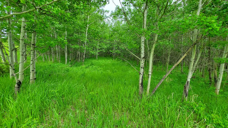
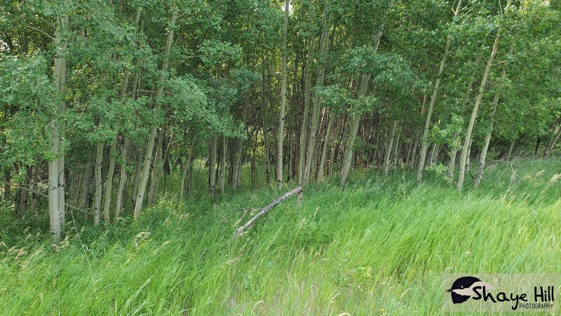
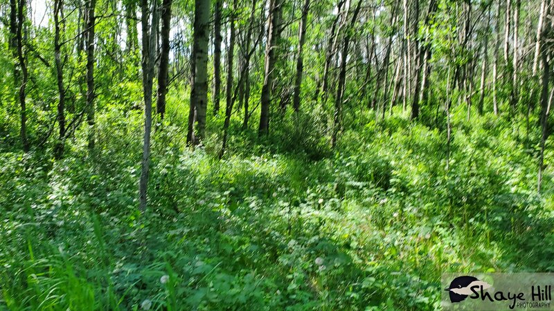
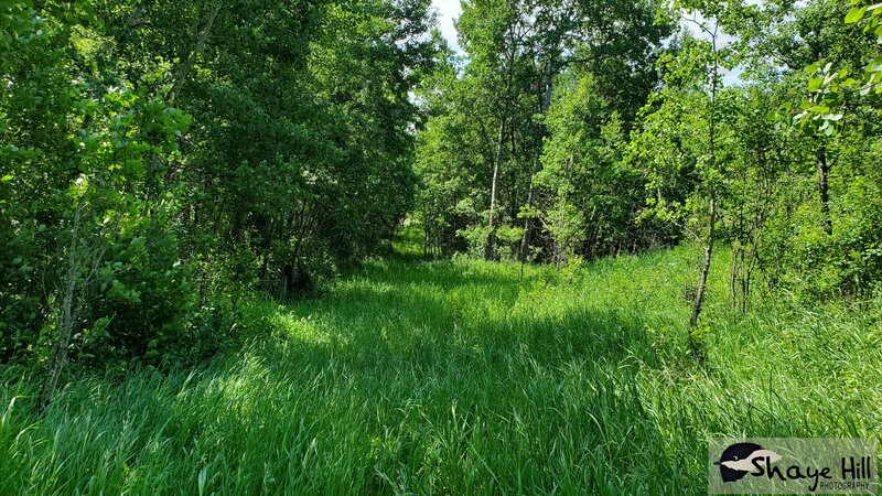
Spanning 159 acres, this site primarily consists of mature aspen forest, where the undergrowth is generally not dense. The property features open grasslands that provide easy walking paths, as well as game trails that meander through wooded sections. Overall, due to the prevalence of decadent aspen forest, walking through the woods is not particularly challenging. This property boasts numerous ephemeral wetlands, contributing to its ecological diversity. Wildlife in the area include species of waterfowl and songbirds, such as the Common Goldeneye and Yellow-rumped Warbler.
Access: From Innisfail, travel east on Highway 590 for 26 km. Turn left onto Range Road 260 and then right onto Township Road 360. In 2.1 km, the destination is on your left.
Partners: DUC
Alberta Discover Guide: E3-4
Beckingsale (30.9 km)
Situated approximately 30 km southeast of Red Deer, this 50-acre site is located within a larger Crown grazing lease. The landscape primarily consists of expansive grasslands, accompanied by aspen groves and planted spruce on the north side of the property. Towards the southern part of the site, there is a lake that contains springs and supports a healthy population of minnows. This aquatic habitat serves as a valuable food source for pelicans, cormorants, and herons. Other waterfowl, such as the Sora and Eared Grebe, can also be found here. However, it is important to note that this site is relatively inaccessible unless you contact the leaseholder first.
Access: Starting from the junction of Highway 590 and Range Road 251, travel approximately 2.2 km northward. At that point, you will find a gate located on the east side of Range Road 251. Proceed through this gate and continue southeast, passing through the grazing lease. Continue until you reach the fenced and protected area situated on the northern shore of the lake.
Partners: ACA, AEP
Alberta Discover Guide: E3-117 (map is wrong for the boundary)
Elizabeth Lake Trail (31.3 km)
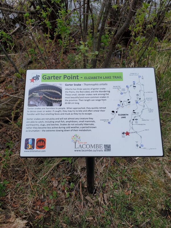
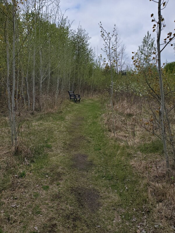
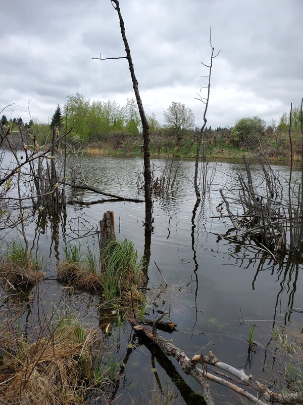
Situated in the heart of Lacombe, this conservation site offers visitors both an immersive and natural experience for its visitors. While the trail does not completely encircle the lake, it provides a pathway that leads south to Cranna Lake Trail. The trail itself is well-maintained, ensuring a pleasant hiking experience for travelers, although occasional flooding may occur. For those seeking an aquatic adventure, kayaking is permitted on the lake. Among the avian residents, you will find the Cooper’s Hawk, the White-crowned Sparrow, and Bufflehead.
Access: from Blackfalds, take Highway 2A towards Lacombe. Upon entering Lacombe, make a left turn onto Calgary Edmonton Trail, followed by another left onto 58 Street. After traveling 2.3 km, turn right onto Woodland Drive, and you will find your destination on the left-hand side.
Partners: City of Lacombe
Alberta Discover Guide: N/A
Bergeson (33.1 km)
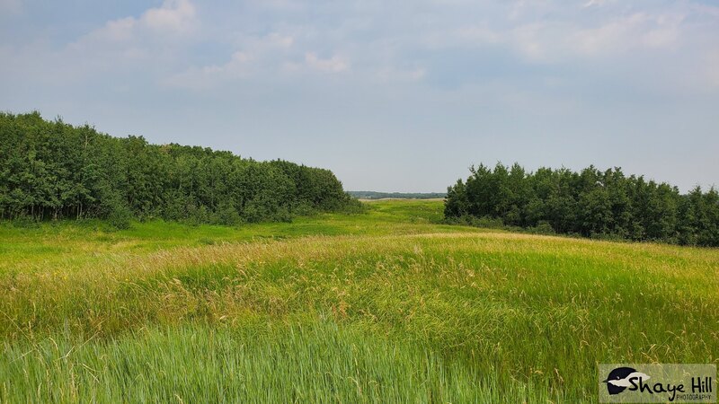
This site is located just a short 15-minute drive from Red Deer and features hilly terrain with forests, open spaces, and scattered marshes. While there are no designated trails, visitors can utilize game trails throughout the property for navigation. In wet years, the property can become quite marshy, so it is advised to come prepared and dressed accordingly, depending on the seasonal conditions. Birdwatchers can also spot various species, including the Warbling Vireo and Red-tailed Hawk. Please keep in mind that this site may prove challenging for some. This property is only open for visits for half of the year (December to August).
Access: To reach this site from Red Deer, travel east on Highway 11 for 21 km. Turn right onto Range Road 251. After 3.2 km, turn left onto Township Road 382. Continue for 0.8 km, and you'll find Bergeson on the left (SE13-38-25).
Partners: NCC
Alberta Discover Guide: N/A
Fabris (33.6 km)
Discover the vast beauty of this 160-acre site situated east of Red Deer, where a harmonious blend of forest and wetlands awaits. While there are no established trails that span the area, you may chance upon a handful of grassland clearings that add to the allure of the landscape. In addition to the surroundings, the site offers a range of recreational activities, including the opportunity to indulge in saskatoon berry picking. Wildlife enthusiasts will be delighted by the abundance of avian residents and amphibians that call this place home. Keep an eye out for remarkable species like the melodious ovenbird and the captivating warbling vireo.
Access: East of Red Deer on Highway 595 for 32 km to Range Road 242, drive south for approximately 1 km on an undeveloped road allowance, walk the remaining 0.6 km to site.
Partners: ACA, AEP
Alberta Discover Guide: E3-13
Nicker (37.6 km)
This 159-acre area, located about 8 km southwest of Delburne, encompasses wetlands, grasslands, and bush habitat. Unfortunately, a large portion of the wetlands has nearly dried up, and the remaining ones are close to drying out completely. Upon entering the property, there is a road that leads to an old oil well. In the distance, beyond the rolling hills, you can spot some aspen and poplar groves. However, given its current condition, this site is not particularly appealing for a visit. The population of birds in the area mainly consists of grassland birds and magpies.
Access: East of Red Deer on Highway on Highway 595 for 30.4 km to Range Road 243, travel south for 7.2 km with the last 0.8 km being on an undeveloped road allowance.
Partners: DUC
Alberta Discover Guide: E3-80
Ray’s Pond (33.5 km)
Situated to the west of Sylvan Lake, Ray's Pond receives an annual stock of rainbow trout from the Alberta Conservation Association each year. This serene pond not only offers ample opportunities for anglers but also boasts a well-equipped day use area complete with parking facilities, bathrooms, picnic tables, park benches, a dock, and a boardwalk.
Access: To reach Ray's Pond from Red Deer, simply head west on Highway 11 for a distance of 28.8 km, then continue north on Range Road 30 for 0.5 km.
Partners: ACA, AEP, Lacombe County
Alberta Discover Guide: E3-71 (map is wrong for the boundary)
McPhee 1 (33.6 km)
This natural area is 319 acres. To access this area from Red Deer head south on Queen Elizabeth II Highway, turn going east on Highway 42, turning north on Highway 816 and walking along the oil lease road to access the property. This area offers a rolling prairie grassland landscape with interspersed aspen stands and wetlands. A gorgeous area with tranquil views. Wildlife in this area include white-tailed deer, waterfowl, grassland and forest birds.
Access: from the Ghost Pine General Store go North on Highway 816 to parking near Township Road 370 (2.4 km) Lockerby site. Walk 1.6 km west, through the Lockerby, then North for 0.8 km along the fence line of an undeveloped road allowance (range Road 254). This will take you to the Southeast corner of the site (NE5-37-25w4)
Partners: NCC, DUC
Alberta Discover Guide: N/A
Haynes, Vincent, and McPhee 2 (33.6 km)
Some of the lake falls within the Haynes area, while the majority is situated in Vincent with a large spring. This region encompasses a combination of native grasslands and aspen forests, with several wetlands scattered throughout the property that serve as habitats for wetland species. Birds of the area include the Northern Flicker, Red-tailed Hawk, Bufflehead, and Lesser Scaup.
Access: McPhee 2 may be accessed through Lockerby coming in on the east side or west from Ghost Pine General Store, 4.8 km to Range road 260, North for 1.6 km and east on township road 370 (undeveloped road allowance) for 0.8 km to the Haynes property on the North side of the road. The Vincent property may be accessed by using the undeveloped road allowance (Range Road 255) heading North of Highway 42 for 1.6 km.
Partners: NCC
Alberta Discover Guide: N/A
Hawthorne (34.3 km)
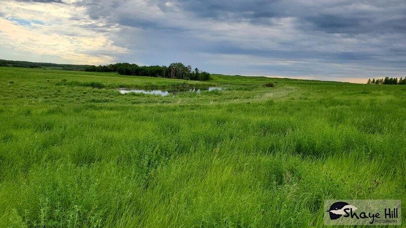
This 160-acre property encompasses wetlands, grasslands, and bush habitat. The wetlands dominate the majority of this quarter-section, while an aspen forest can be found on the northeastern side of this natural area. Navigating deeper into this natural area can be challenging due to its wetland nature. This site also serves as an excellent habitat for nesting and resting waterfowl during the spring and summer migration, including species like the Ruddy Duck and Canada Goose. Additionally, other animals benefit from the presence of open water throughout the year, even in drought conditions.
Access: To reach this location from Red Deer, head east on Highway 11 for a distance of 31 kilometers. Make a right turn onto Township Road 384 and continue driving for approximately 1 kilometer. Once you reach the destination, you can choose to park along Range Road 241 or Township Road 384.
Partners: DUC
Alberta Discover Guide: E3-125
B & E Acres LTD (35.0 km)
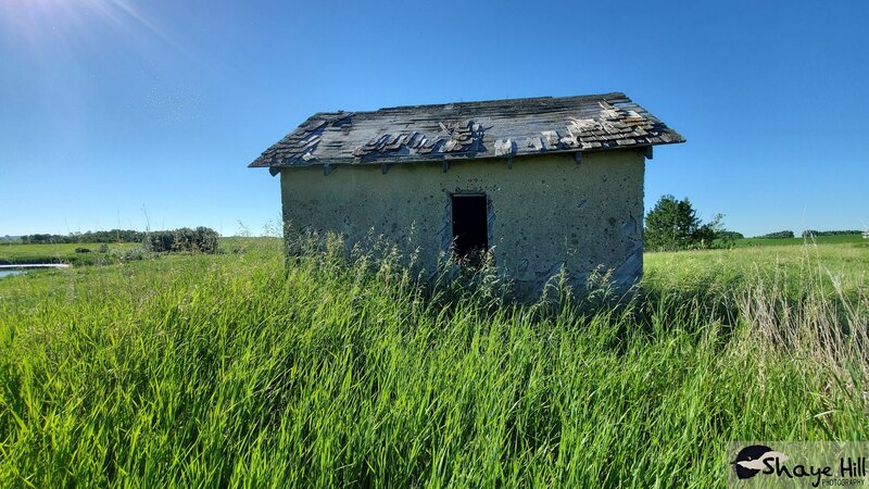
East of Innisfail, this property spans 160 acres, consisting of grassland and pasture with scattered wetlands. The wetlands exhibit a range of characteristics, transitioning from open water, ephemeral, to marshes. Initial exploration is facilitated by an oil lease, while the remaining area requires traversing through tall grass. The diverse wetlands found here provide a crucial habitat for various waterfowl and shorebird species, including the Blue-winged Teal, Killdeer, and American Avocet. As you explore the property, you may stumble across an old building.
Access: From Ghost Pine General Store, head east for 1.6 km and south on Highway 816 for 9.6 km. Then head west for 3.2 km and south on Range Road 254 for 1.6 km. The property is on the east-side of the road with a green sign.
Partners: DUC
Alberta Discover Guide: E3-34
Kneehill Creek (35.0 km)
Situated 20 km southeast of Innisfail, you'll find a conservation site spanning 160 acres. Forested areas are dominated by aspen and balsam poplar trees. Within the eastern half of the site, you'll encounter groves filled with willow trees and marshes, creating excellent habitat for ungulates like moose. Beavers have established their presence in a creek that runs through the property with dams throughout. As you explore, you may notice woodland-covered hills in the distance; however, reaching them might require crossing the creek, posing a potential challenge. On-site, you'll come across nesting boxes mounted on trees and posts, serving as shelter for various small bird species, including the House Wren and Tree Swallow. Don't forget to keep an eye out for the Pileated Woodpecker, Red-tailed Hawk, Great Horned Owl, and Red-eyed Vireo during your visit.
Access: From Innisfail, travel east on Highway 590 for a distance of 16 km. When you reach Range Road 270, make a right turn and continue for 6.4 km. Afterwards, make a left turn onto Township Road 35-0. After traveling for 0.4 km, you will come across a road allowance situated on the south side of the road. It is important to note that during wet conditions, the undeveloped road may not be accessible by vehicle. Therefore, it is recommended to proceed on foot from this point until you reach the northeast corner of the conservation property.
Partners: ACA, AFGA, Sarcee Fish & Game
Alberta Discover Guide: E3-82
Blaikie (35.8 km)
Blaikie is a 320-acre site composed of aspen forest, shrubland, grasslands, and scattered pockets of wetland. This natural area holds significant value for ungulate species, as it provides abundant low-lying shrubs for them to graze on, particularly crucial during the winter months. In the summer, there is also a plentiful amount of forage available for these animals. Birds in the area include the American Wigeon, Sora, Common Goldeneye, Red-tailed Hawk, and Least Flycatcher.
Access: To reach the site from Delburne, begin by traveling south on Highway 21 for a distance of 5.1 kilometers. Make a right turn onto Township Road 370 and continue driving for an additional 5.6 kilometers. Finally, make a left turn heading south onto Range Road 242. The site can be found on the east side of the road.
Partners: DUC
Alberta Discover Guide: E3-96
Lockerby (35 km)
This 319-acre natural area provides pathways for exploration and may have cattle present. The forested sections showcase an enchanting composition of trembling aspen, interspersed with patches of paper birch. Within this captivating landscape, one will encounter numerous small wetlands and a thriving grassland ecosystem. Common wildlife sightings to this area include the Gray Catbird and the Mourning Dove.
Access: Head north from Ghost Pine General Store for 2.4 km.
Partners: ACA, DUC, WHC, NCC, AFGA
Alberta Discover Guide: E3-161
Anne Pope (35 km)
Nestled within a captivating 160-acre expanse, this site encompasses an amicable blend of wetland, bush, and grassland habitats. It serves as a haven for a diverse array of wildlife, including the Red-necked Grebe, Wilson’s Snipe, and Rose-breasted Grosbeak. In July you can observe colonies of Eared Grebe nesting.
Access: From Ghost Pine General Store, head west on Highway 42 till you reach an approach on the right-hand side into the Boote property. Continue north along the fence for 0.6 km (along Range Road 254) until your reach Anne Pope. This undeveloped road allowance runs along the west side of Anne Pope.
Partners: DUC
Alberta Discover Guide: E3-10
Bend (35 km)
Approximately 40-acres of this site has been taken out of the crown grazing lease and is situated west of the old undeveloped road allowance. It encompasses a blend of aspen forest and wetlands. Activities such as riparian wetland fencing, the creation of rock islands, and the installation of duck nest boxes have all contributed to the preservation of the area's habitat. As a result, a diverse array of wildlife thrives here, including the Bufflehead, Sora, Wilson’s Snipe, and Ruffled Grouse.
Access: This site is located west of Ghost Pine General Store approximately 3.2 km. Head south onto Range Road 255 (old undeveloped road allowance).
Partners: AEP, ACA
Alberta Discover Guide: E3-5
Boote (37.5 km)
Situated approximately 2 kilometers west of Ghost Pine General Store, Boote is a 96-acre natural area that requires permission for access from the Nature Conservancy of Canada (NCC). It is located directly north of Underwood and east of Bend, both of which are also conservation sites. This natural area offers a blend of trembling aspen, diverse grassland, and a large wetland. Boote extends across Highway 42, reaching all the way to the shore of a large wetland in the north. One challenge associated with this area is its proximity to Highway 42, which hampers safe wildlife passage. Additionally, there is a gravel pit in close proximity to the property. During early July, you can observe colonies of Eared Grebes nesting on the lake, along with other bird species such as the Great Blue Heron, Black Tern, Gray Catbird, Killdeer, and Least Flycatcher.
Access: To reach the Boote property, start by traveling west on Highway 42 and turn right into the approach (Range Road 254). From this approach you can accesss this property on south side of Highway 42 as well.
Partners: NCC
Alberta Discover Guide: N/A
Wik (37.9 km)
Characterized by grassland, there are several ephemeral wetlands scattered throughout this site. In the southwest corner of the property, Pine Lake Creek traverses the area, forming a ponded section created by beavers. Within one of the nearly dry wetlands, a variety of snags, including aspen and willow trees, provide a nesting spot for songbirds, such as the Tree Swallows. Bird species that can be observed include the Northern Shoveler, and Gadwall.
Access: From the Ghost Pine General Store head east on Highway 42 to Highway 816, heading south for 9.6 km. When the highway intersects with Highway 590, head east for 6.4 km to Range Road 244, and north for 1.6 km. The property is located on the west side.
Partners: DUC
Alberta Discover Guide: E3-126
Underwood (38.0 km)
Spanning 141 acres, Underwood is directly south of Boote and east of the Bend. This natural area offers a blend of open grasslands, mature aspen forests, and depressional wetlands. Thick undergrowth of shrubs is prevalent beneath the aspen canopy, with numerous fallen aspen trees adding to the landscape. An oil lease trail provides access to the natural area. While the grassland areas are easily traversable, navigating the forested sections can be more challenging, although following game trails can help. As you explore, be on the lookout for various bird species, including the Northern Harrier, Red-breasted Nuthatch, Red-eyed Vireo, Eastern Kingbird, and Ruffed Grouse.
Access: Head west from Ghost Pine General Store for 2.4 km. The site is located south of Highway 42 on Range Road 254A, immediately after the fork in the road. To reach it, stay east and look for a designated pullout area with a visible sign. There is room to park at the oil road but do not block access.
Partners: NCC, AFGA
Alberta Discover Guide: N/A
Hetchler (38.3 km)
Southwest of Delburne, this conservation site features both both young and old aspen stands, with a large central wetland connected to others within the vicinity. Towards the eastern side of the property, there is a homestead situated on the edge of the expansive waterbody. Several grassland marshes with surrounding willows provide excellent habitat for species, such as the Nelson's Sparrow. Navigating through this area is relatively manageable, although moving around the wetlands can pose some challenges. Bird species that can be found here include the Bufflehead, Ruddy Duck, Pied-billed Grebe, Sora, Solitary Sandpiper, Great Blue Heron, and Tree Swallow.
Access: To reach the property, start by traveling south from Delburne on Highway 21 for a distance of 1.6 kilometers. Then, make a right turn onto Township Road 372. In 1.6 km, you will be at the northeast corner of the property, there are parking approaches on the north and east side.
Partners: DUC
Alberta Discover Guide: E3-128
Jones (38.4 km)
Because this site is surrounded by private property and a gravel lease, it is no longer accessible to the public. However, wildlife can be observed from Township Road 384, via road-side viewing. From the gravel road, a lake can be observed, with earth and rock islands for migratory bird nesting. On the opposite side, patches of trembling aspen can be seen in the distance. This area is fenced off on the west-hand side by a grazing lease for cattle. Birds in the area include the Lesser Scaup, Blue-winged Teal, Brewer’s Blackbird, Goldeneye, and the Canada Goose.
Access: From Delburne, head north on Range Rd 234. Turn right (east) onto AB-21 N. Turn left (north) onto Range Rd 233 and then left (west) onto Township Rd 384. Continue on, till the road bends north and stop when you see a lake on the right-hand side. If you cross the train tracks at this point, you have gone too far. NOTE: this site is no longer accessible to the public because it is surrounded by private property, but allows road-side viewing from Township Rd 384. The former access point is now blocked off with a closed gate and no trespassing signs, due to an open gravel pit.
Partners: ACA, AEP
Alberta Discover Guide: E3-49
Hansen’s Reservoir – Lake Aeration and ACA Fish Stocking (39.4 km)
Located 23 km west of Sylvan Lake, Hansen’s Reservoir spans across 24-acres, with most of the area being a trout pond that is annually stocked in May. The pond offers excellent fishing opportunities throughout the year, thanks to continuous aeration. The vegetation surrounding the pond is characterized by a mix of willow, trembling aspen, white spruce, and a few lodgepole pine trees. During the summer months, Hansens Reservoir attracts a significant number of geese and other bird species, including the Blue-winged Teal, American Wigeon, Redhead, Sora, Killdeer, and Spotted Sandpiper. Exploring the area is facilitated by a pathway that partially encircles the pond, allowing visitors to enjoy the scenic surroundings. The site also provides convenient amenities such as a parking area, outhouse, garbage bins, and two floating docks for easy access to the water.
Access: To reach Hansen's Reservoir from Eckville, travel south on Highway 766 until you reach a T-intersection. From there, make a right turn heading west onto David Thompson Highway, and then proceed south once again onto Highway 766. After traveling for approximately 2.8 km, you will find the entrance to Hansen's Reservoir on your right-hand side.
Partners: ACA, AEP
Alberta Discover Guide: E3-99
Warren (40.1 km)
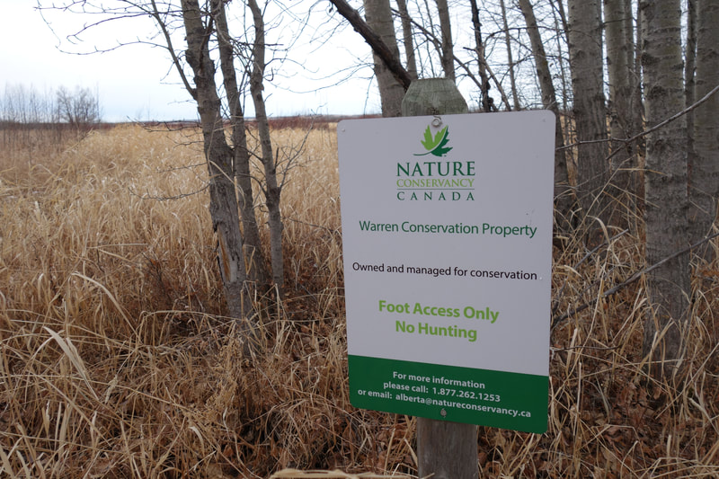
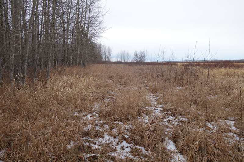
Southwest of Ponoka, this 160-acre site comprises of expansive wetlands and surrounding upland habitat. The area is home to various species of wildlife, including birds such as the Black-capped Chickadee, Black-billed Magpie, and Common Raven. Some signs of muskrat activity can be observed, along with two abandoned beaver lodges on this property. Thus, this site has limited value for public use, primarily serving as a habitat for wildlife, particularly moose that utilize the wetlands and willow swamp. If you intend to access the site, it is necessary to obtain permission from the leaseholder.
Access: To reach the destination, start by traveling south from Crestomere on Highway 792 for approximately 6.5 km. Make a left turn heading east onto Township Road 422 and continue for 3.2 km. Finally, make a left turn heading north onto Range Road 275. For further directions, contact the leaseholder.
Partners: ACA, NCC
Alberta Discover Guide: E3-29
Kelly Ranches (40.1 km)
This property features groves with white spruce, trembling aspen, and balsam poplar trees, along with open grassland areas. The site is generally straightforward to navigate due to open spaces created by logging. Wood piles can be found scattered across the location, resulting from its previous use as a sawmill site. Creeks, marshes, and wetlands are present in certain areas, giving home to species such as the Pileated Woodpecker, Mourning Dove, Blue Jay, and Chipping Sparrow. This property also offers great opportunities for strawberry picking in some areas. It is worth mentioning that a farmer frequently uses the site for grazing cattle.
Access: Head south from Ghost Pine General Store for 0.8 km on Range Road 254. This property can be found west side of the road allowance.
Partners: NCC
Alberta Discover Guide: N/A
Tees Trout Pond – ACA Fish Stocking (40.4 km)
Tees Trout Pond receives an annual trout stocking each year, typically in May. The pond plays a vital role as a water and food source for numerous wildlife species, benefiting from its thick undergrowth and an abundance of berry-producing plants that attract various birds. Additionally, this location functions as a campground, offering around five campsites, a gazebo, and a picnic table for visitors to enjoy. A trail runs along the pond's east side, although it does not encircle the entire area due to the presence of beaver lodges and dense vegetation. Nevertheless, the serene environment makes it an ideal spot for gatherings and small group events. Birdwatchers can delight themselves in spotting species such as the Tree Swallow, Ruby-throated Hummingbird, and Blue-winged Teal that call this place home.
Access: To reach this reservoir, travel 1 km north of Tees on Highway 821 and the pond will be located on the west side of the road.
Partners: ACA, AEP, Lacombe County, Nutrien
Alberta Discover Guide: E3-64
Markerville Natural Area (41.0 km)
The Markerville Natural Area covers 128 acres and runs alongside the Red Deer River, mainly consisting of a mature mixed-wood forest with white spruce, trembling aspen, and balsam poplar trees. Willows can be seen growing near the river's edge. A pathway begins at the road's end and runs along the natural area's edge, which is commonly used by dog walkers. Navigating beyond the pathway, can become challenging due to the river and dense forest ahead. Throughout this location, onlookers can spot various species here, including the Greater Yellowlegs, Lesser Yellowlegs, Eastern Kingbird, Blue Jay, and Downy Woodpecker.
Access: Travel east on Highway 54 from Spruce View for a distance of 11.2 km, then make a south turn onto Range Road 20. After 1 km, you'll find the natural area situated on the west side of the road.
Partners: AEP
Alberta Discover Guide: N/A
J.J. Collett (41.8 km)
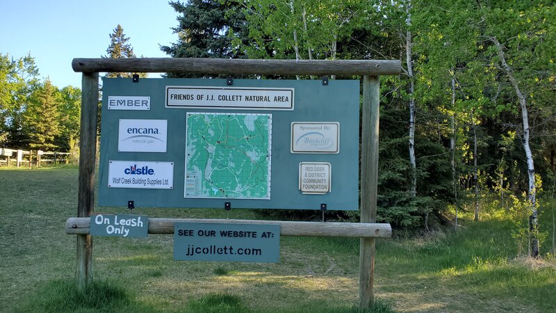
The J.J. Collett Natural Area Foundation manages this extensive 635-acre protected region, vital for preserving vulnerable animal populations that struggle in agricultural environments. The area comprises aspen parkland atop sand dunes, making its conservation critical to protect plant and animal communities from potential development. Essential facilities like bathrooms and a small parking area are available for convenience. The area boasts 18 km of well-maintained trails, taking visitors through aspen forests, as well as various wetland and grassland areas. Wildlife which can be spotted here include the White-crowned Sparrow, Ovenbird, Hairy Woodpecker, Sora, and Sharp-shinned Hawk, making it a great destination for nature enthusiasts and birdwatchers.
Access: To reach the site from Red Deer, head north on Queen Elizabeth II Highway. Then, take the east turn onto Township Road 412 (Milton/Gadsby Road), and continue north on Range Road 261. Finally, make a westward turn onto Township Road 414, and you'll find the parking lot on your right.
Partners: AEP, Lacombe County, J.J. Collett Provincial Natural Area Foundation
Alberta Discover Guide: N/A
Hummer (42.5 km)
Hummer is a 160-acre protected area with a large wetland surrounded by grassland, upland shrubs, and aspen forests. The standing water makes it essential for various waterfowl and shorebirds, such as the Blue-winged Teal, Canvasback, Ruddy Duck, and Red-necked Grebe. Other animals also thrive in this open water habitat, including a significant number of Plains Garter Snakes, indicating the possibility of a nearby hibernaculum. Although there are no designated paths, it's easy to explore the area. Visitors can discover a memorial rock and the potential remnants of an old homestead, with a few large shrubs serving as traces of its history. Other birds of the area include the Purple Martin, Baltimore Oriole, and Western Wood-Pewee.
Access: Travel south on Highway 21 from Delburne for a distance of 12 km. Then, make a westward turn onto Township Road 362 and continue for 3.3 km. Next, head south onto Range Road 240, and after 4.1 km, you will find the destination on your right.
Partners: DUC
Alberta Discover Guide: E3-124
Parlby Creek (42.9 km)
This 82-acre site, situated approximately 4 km NW of Alix, offers a diverse landscape featuring wetland, grassland, and bush habitats. The northern half of the property had a creek flowing through it, flanked by lush willow vegetation on both sides, and dotted with beaver dams and houses. Meanwhile, the southern portion presents small wetlands, and towards the east, one can find expansive open marsh areas, creating an ideal habitat for moose. Evidence of frequent moose activity is abundant throughout the property, with signs of grass being recently pushed down by large animals and extensive browsing on bushes and smaller trees. However, this site does not have established trails, which may pose a challenge to some due to tall grasses and bushwhacking in certain areas. The landscape also offers hilly grasslands, accompanied by aspen forests and groves. Raspberry bushes thrive in abundance, presenting a great opportunity for those seeking to pick berries. On the western side of the property, there are train tracks, but access to the site is available via an approach where one vehicle can be parked conveniently. The property is demarcated by fencing to mark its boundary, and on the southeast side, there is a neighbouring cornfield for agricultural use.
Access: Travel northwest from Alix along Highway 12. After covering a distance of 4.3 km, you will find the site situated on your right. Pull into the approach to park, but exercise caution while crossing the train tracks.
Partners: DUC
Alberta Discover Guide: E3-108
H.G. Lawrence
Situated about 30 km east of Penhold, this 114-acre site is currently closed to public access due to an ongoing property restoration project focused on reforestation. The area is primarily characterized by hilly pasture with clumps of small aspen groves, as well as a wetland. To the east, Pine Lake is visible in the distance. Among the diverse species in the area, you can spot common birds such as the House Wren and American Robin.
Access: From Ghost Pine General Store head 1.6 km east on Highway 42. Then, turn south onto Highway 816 and continue for 1.4 km. Next, turn east towards the Pine Lake Christian Camp Association. After driving for 0.8 km, you'll find the destination on your right, marked by signage. Park on the south side of the road.
Partners: NCC, AFGA
Alberta Discover Guide: N/A
Centre Chain Lake –#104 in Alberta Discover Guide – 43.1 km from Red Deer
This 72-acre site is approximately 20 km SE of Ponoka and consists of native parkland habitat along Centre Chain Lake and managed forage on a portion of the uplands. Wildlife in the area includes moose, white-tailed and mule deer, grouse and waterfowl.
Partners: AFGA, Clive Fish & Game, Lacombe Fish & Game, Millet Fish & Game, Ponoka Fish & Game
Alberta Discover Guide: E3-104
Haskell (43.4 km)
Haskell, a 160-acre protected area located south of Delburne, is primarily characterized by grassland, upland bush, and wetlands. Positioned just north of another protected area called George, Haskell's dense underbrush provides an ideal habitat for deer, snowshoe hare, and weasels. There is an initial pathway between George and Haskell that leads into the area, but it requires crossing a barbed wire fence for access. The site, itself, is rich in birdlife, with species such as the Redhead, Alder Flycatcher, Western Kingbird, Red-eyed Vireo, Baltimore Oriole, and Vesper Sparrow being frequently observed.
Access: Travel south from Delburne on Highway 21 for a distance of 4.8 km. Then, make an east turn onto Township Road 370 and continue for 3.2 km. This will take you to the southeast corner of George, another 0.8 km will take you to Haskell.
Partners: DUC
Alberta Discover Guide: E3-141
George (43.7 km)
George, a 160-acre site, is located roughly 5 km south of Delburne and offers a diverse habitat comprising of wetlands, grassland, and bush areas. Positioned just south of the Haskell conservation site, George is primarily characterized by pasture habitat, actively used for grazing, resulting in barbed wire fences dividing the property into grazing sections. The site features several small scattered wetlands, with the majority located on the east side of the property. While there are no designated pathways in this natural area, occasional tire tracks can be used. However, the presence of barbed wire fences can pose a barrier for some visitors. Birdwatchers can enjoy spotting various species in the area, including the Lesser Scaup, Sora, American Wigeon, Blue-winged Teal, and Tree Swallow.
Access: Travel south from Delburne on Highway 21 for a distance of 4.8 km. Then, make an east turn onto Township Road 370 and continue for 3.2 km. This will take you to the southeast corner of George.
Partners: DUC
Alberta Discover Guide: E3-79
Collins (44.6 km)
Collins, a 136-acre natural area northwest of Elnora, consisting largely of grassland habitat which borders a sizeable wetland. To safeguard the banks, the large wetland is fenced off from the natural area to prevent cattle grazing. With its tall grasslands, Collins serves as an excellent habitat for grassland birds like the Bobolink, Savannah Sparrow, and Clay-colored Sparrow. Several smaller wetlands in the area also provide nesting support for shorebirds, such as the Killdeer. There is an oil lease that starts from the gate and enters the property, but its reach is limited, leaving you to explore the remainder of the site by walking through the grassland.
Access: To access the site, travel south on Highway 21 from Delburne. After 18 km, turn west onto Highway 590 and continue for 2.4 km; you'll find the site on your right-hand side. Alternatively, you can access it by turning north onto Range Road 240 and parking in an approach.
Partners: DUC
Alberta Discover Guide: E3-151
Crestomere Lake (45.6 km)
Situated west of Ponoka, Crestomere Lake spans 79 acres and thrives with diverse animal life. However, to access the lake is quite challenging, as it requires traversing an oil lease road and crossing a field. This area is surrounded by private land which can make it difficult to reach. Despite the obstacles, the lake's abundance of aquatic vegetation creates an ideal habitat for Marsh Wrens and attracts a variety of waterfowl during the summer months. Birdwatchers can delight in observing species such as the Northern Shoveler, Ring-necked Duck, Bufflehead, Ruddy Duck, Northern Flicker, and Western Meadowlark in this area. Although cattle graze the area frequently, the presence of barbed wire fences helps protect the overall health of vegetation.
Access: Starting from the Ponoka overpass, travel east on Highway 53 for a distance of 18 km. Once you pass through Crestomere, you'll find the site and lake situated on your right-hand side.
Partners: DUC
Alberta Discover Guide: E3-33
Bulka (46.3 km)
Bulka encompasses 476 acres of diverse landscape, featuring aspen forest, grassland, shrubland, and wetlands. It stands as a large and varied protected area, with efforts made to restore native grasses and enhance the wetland areas. The site boasts a healthy undergrowth of vegetation, making it an ideal location to explore and observe flowering plants. The rolling grassland area is easy to traverse, while the aspen forest might require a bit more effort; however, cutlines make walking and navigation easier. Visitors can enjoy Saskatoon berry picking opportunities, while birdwatchers can spot various species such as the Yellow-bellied Sapsucker, Warbling Vireo, Eastern Kingbird, and Baltimore Oriole.
Access: Travel south from Delburne on Highway 21 for 18 km. Then, turn west onto Highway 590, and in just 1.4 km, you will find the site located on your left-hand side.
Partners: ACA, DUC, NCC
Alberta Discover Guide: E3-48
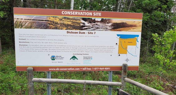
Dickson Dam Site 7 (46.5 km)
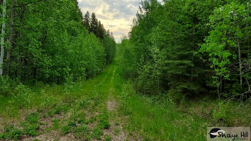
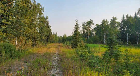
Dickson Dam Site 7 is a 388-acre mixed-wood forest located across the road from Gleniffer Lake. The area features mature trembling aspen, balsam poplar, and various stages of black cottonwoods. Visitors can enjoy excellent trails for photography, lowbush cranberry picking, and observing the natural habitat. While the pathway through the area allows for an easy and pleasant stroll, exploring further may require following game trails and bushwhacking. Locals often set up trail cameras to capture wildlife in the area. Birdwatchers can spot species like the Northern Goshawk, Red-eyed Vireo, Blue Jay, Boreal Chickadee, Ovenbird, and Golden-crowned Kinglet.
Access: To reach the site, travel west from Innisfail on Township Road 352 for 23 km. Then, make a south turn onto Range Road 31, and after just 0.5 km, you will find the site situated on your right-hand side.
Partners: ACA, AEP
Alberta Discover Guide: E3-137
Ponoka Hospital Lands (46.6 km)
This 106-acre plot of land borders the Battle River, providing access to fishing opportunities for a variety of sport fish. Situated on the eastern side of Ponoka and within city confines, this region is primarily characterized as aspen parkland, dominated by White Spruce and Trembling Aspens. It encompasses a grassland expanse alongside a larger wetland and clusters of willow thickets. Despite its central location, some may view this area as more of a natural green space. The southern pathway extends until it reaches a gate leading to private property. This locale serves as a pleasant spot for exploration and connecting with nature, with easy accessibility. Many dog owners frequent this area for leisurely walks with their pets, and the maintenance of the walking trails falls under the responsibility of the town of Ponoka. Birds that can be spotted include the Blue-winged Teal, Bufflehead, Downy Woodpecker, and Alder Flycatcher.
Access: Easy to access from Highway 53 in Ponoka, simply head south on 46th Street and then west on 35th Avenue. Park at the end and enter the site using the Diamond Willow Trail.
Partners: ACA, AEP, Town of Ponoka
Alberta Discover Guide: E3-35
Kraft Wimborne Pond (47.5 km)
This site features an aerated pond, stocked annually by the ACA with trout. Paths can lead you halfway around the pond, providing ample fishing opportunities. Additionally, there's a gazebo with a picnic table and fire pit, perfect for families visiting for the day. Other amenities include toilets, garbage bins, benches, parking, and a fishing line disposal station. The area also hosts a variety of species, including the Great Blue Heron, Black Tern, and Willet. The property's boundary is marked by a wire and post fence.
Access: To reach the destination, start from Wimborne heading south on Highway 805 for 1.4 km. Turn right onto Township Road 334 and proceed for 1.7 km. Make another right turn onto Range Road 263, where you'll find the pond situated on the west side.
Partners: ACA, AEP, AFGA
Alberta Discover Guide: E3-138
Raven Ridge (48.1 km)
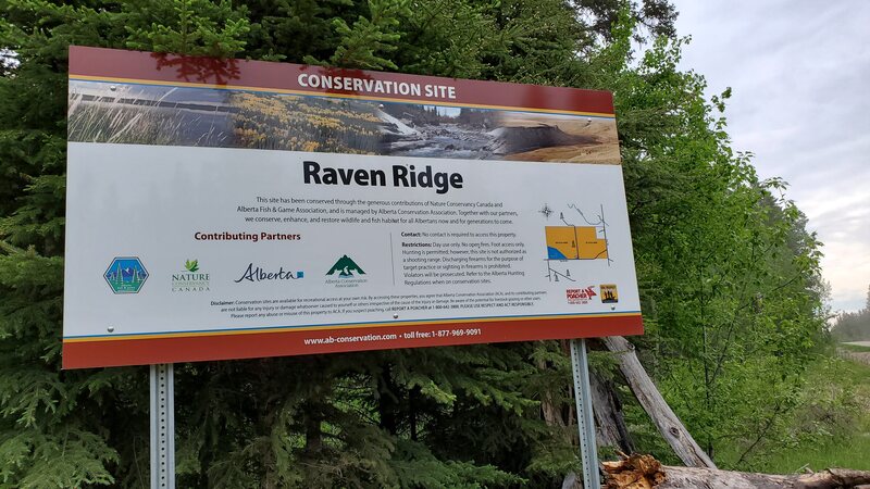
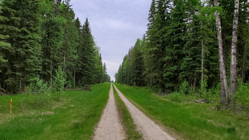
This 300-acre site is located approximately 44 km west of Red Deer. When you visit, please ensure you do not obstruct the entrance gate along Township Road 354. The site features a mixed forest dominated by spruce and aspen trees, along with a 20-acre wetland situated in the southwestern corner. Additionally, there are a few hilly areas that help showcase the terrain. A network of maintained cross-country ski trails allows for exploration throughout the year. The local wildlife population includes deer, moose, elk, bears, cougars, and a variety of bird species, such as the Red-eyed Vireo, Blue Jay, Ruby-crowned Kinglet, Pine Siskin, and Ovenbird.
Access: Travel west from Spruce View for a distance of 5 km on Highway 54. Then, make a southward turn onto Highway 766. After covering 6 km, you will find the site situated on your right-hand side.
Partners: ACA, AEP, AFGA, NCC, West Country Nordic Country Club
Alberta Discover Guide: E3-171
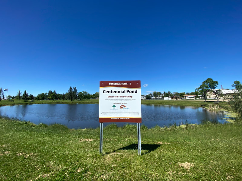
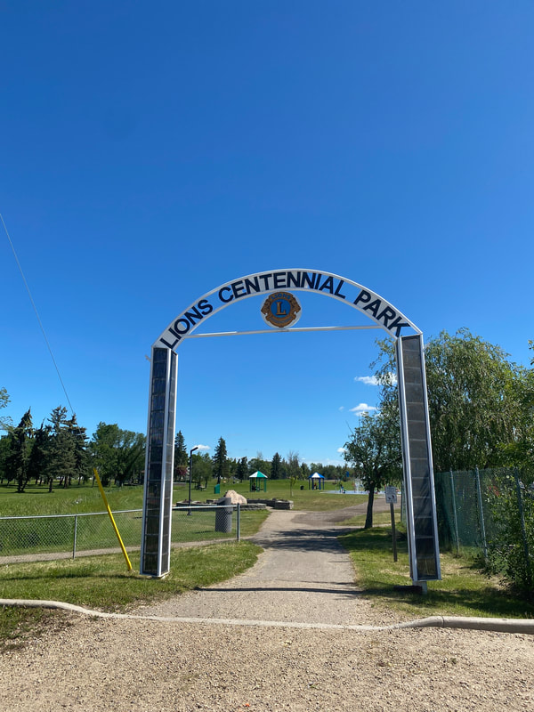
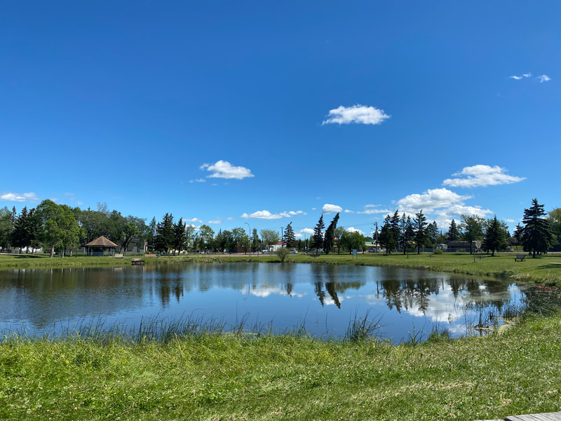
Centennial Park Pond - #45 in Alberta Discover Guide - 48.2 km from Red Deer
This pond is in Ponoka on the corner of Highway 2A and 54 St. ACA annually stocks this pond with trout, typically before the May long weekend.
Partners: Alberta Conservation Association, Alberta Environment and Parks, Town of Ponoka
https://www.albertadiscoverguide.com/site.cfm?grid=E3&number=45
This pond is in Ponoka on the corner of Highway 2A and 54 St. ACA annually stocks this pond with trout, typically before the May long weekend.
Partners: Alberta Conservation Association, Alberta Environment and Parks, Town of Ponoka
https://www.albertadiscoverguide.com/site.cfm?grid=E3&number=45
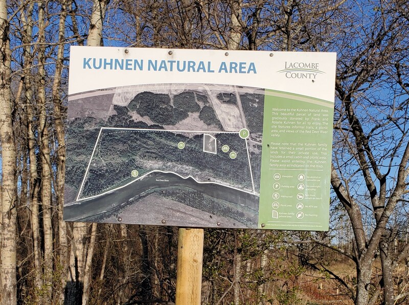
Kuhnen Natural Area – 48.5 km from Red Deer
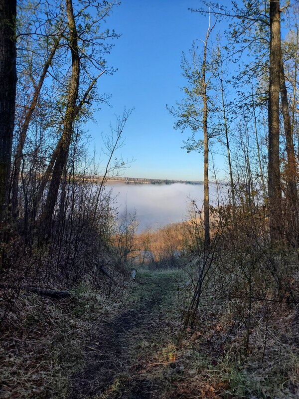
This is a 65-acre natural area donated by the Kuhnen family. To access from Red Deer go east on Highway 11, turn south on Range Road 230. This natural area is backed onto the Red Deer River. This forested area provides foot access to the river and a variety of wildlife species including white-tailed deer, moose, squirrels, and a variety of songbirds.
https://www.lacombecounty.com/index.php/parks-and-trails
Boyden –#147 in Alberta Discover Guide – 48.3 km from Red Deer
This 134-acre site is located approximately 5 km south of Lousana and consists of wetland, grassland and bush habitat. Wildlife found in the area includes moose, white-tailed and mule deer, waterfowl and a variety of songbirds.
Partners: Ducks Unlimited Canada
http://www.albertadiscoverguide.com/site.cfm?grid=E3&number=147
Kemo – #51 in Alberta Discover Guide - 48.7 km from Red Deer
This 160-acre site is located approximately 5 km south of Lousana and consists of wetland and grassland habitat. Wildlife found in the area includes moose, white-tailed and mule deer, waterfowl and a variety of songbirds.
Partners: Ducks Unlimited Canada
http://www.albertadiscoverguide.com/site.cfm?grid=E3&number=51
Wood Lake –# 68 in Alberta Discover Guide - 48.8 km from Red Deer
This 149-acre site is approximately 8 km east of Delburne. Travel 8.2 km east on Twp Rd 374 and 0.6 km south on RR 224. The NE corner of this quarter section (a 10-acre subdivision) is excluded from the site. Hunt in fall, appreciate stillness in winter, bird watch in spring and forage in summer. Saskatoon, chokecherry, rosehip, raspberry and beaked hazelnut abound. Watch for deer and ruffed grouse. The 12 acres of wetland support beaver and water birds.
Partners: Ducks Unlimited Canada, Alberta Conservation Association
http://www.albertadiscoverguide.com/site.cfm?grid=E3&number=68
Back Forty – #59 in Alberta Discover Guide - 49.7 km from Red Deer
This 160-acre site is approximately 20 km NE of Rimbey and consists of wetland and muskeg habitat. Wildlife in the area includes moose, white-tailed and mule deer, beaver and waterfowl. Access to the site is at the SW corner from Twp Rd 432.
Partners: Ducks Unlimited Canada
http://www.albertadiscoverguide.com/site.cfm?grid=E3&number=59

