|
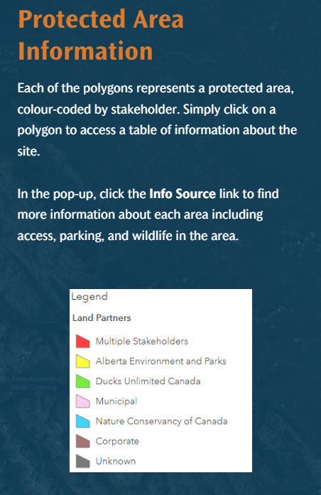
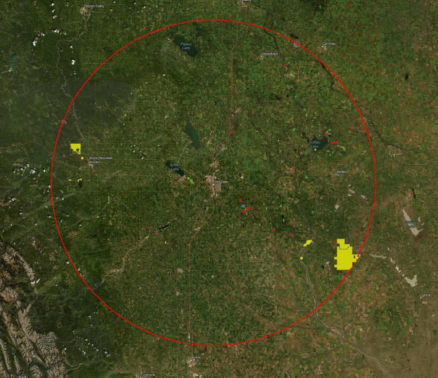
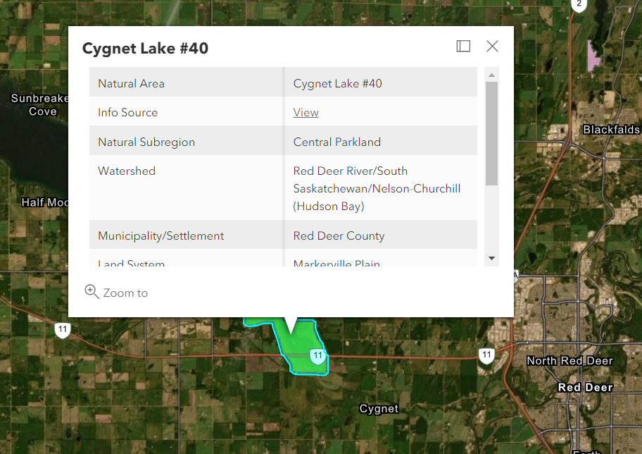
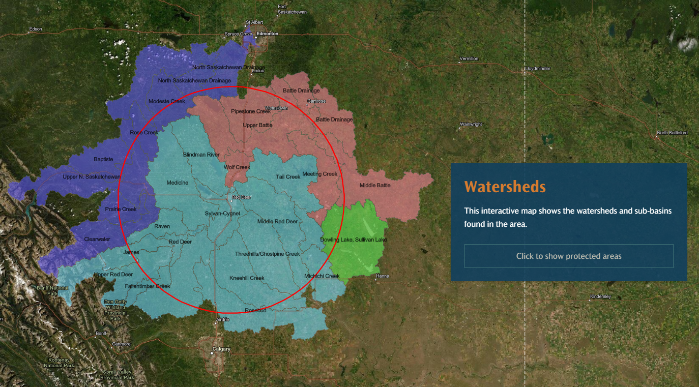
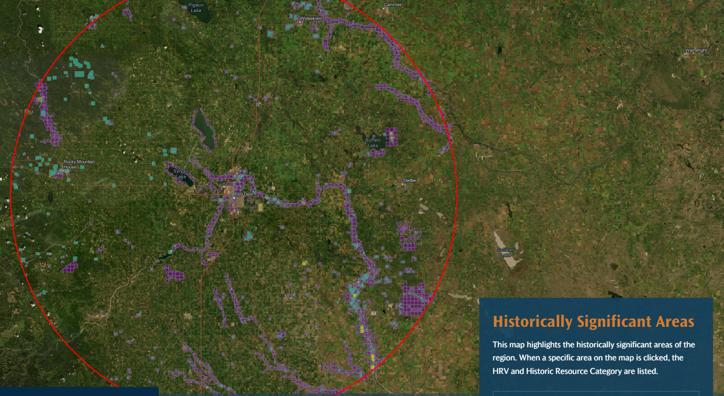
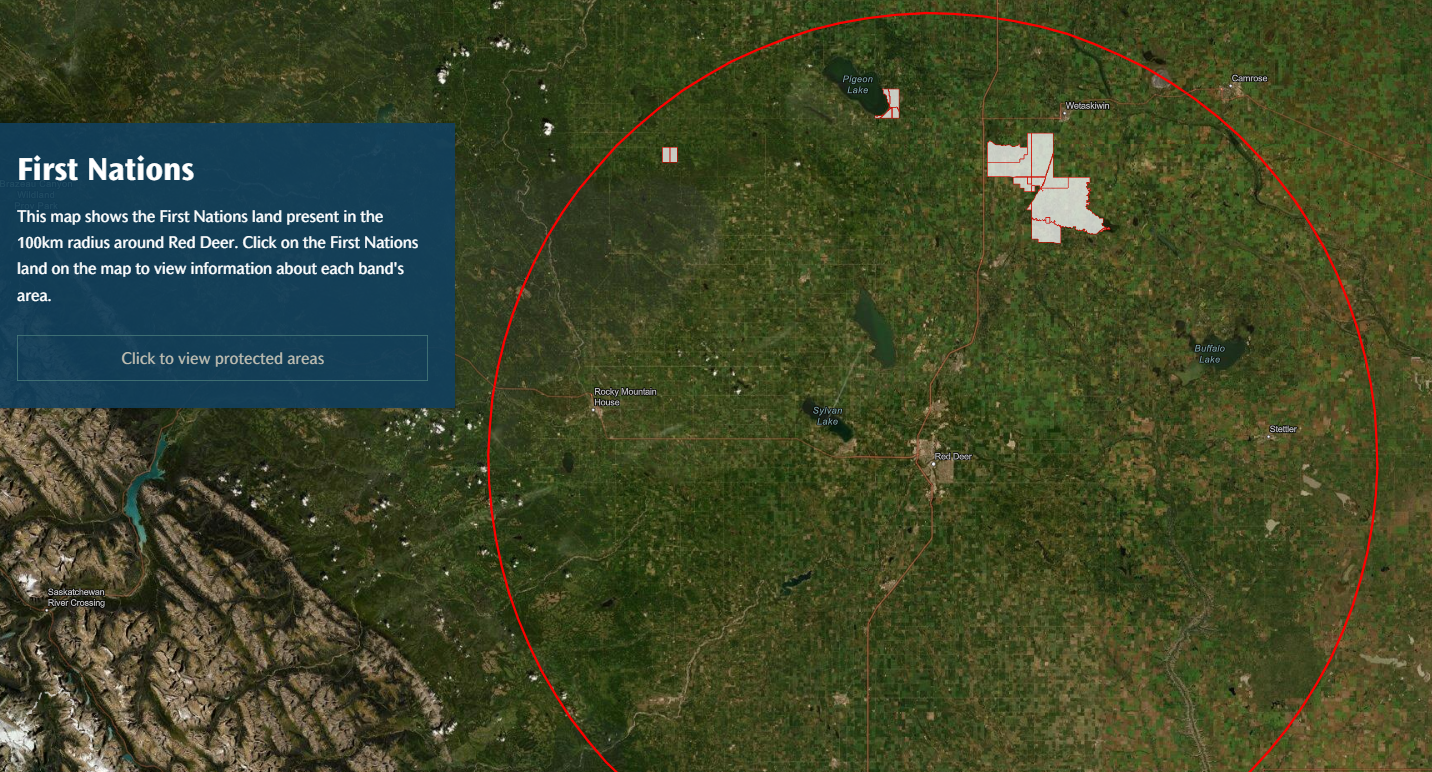
RDRN is pleased to announce the launch of a new and exciting ArcGIS Story Map. Called the Red Deer River Naturalists Mapping Project, this Story Map provides a visual representation of all of the protected areas within a 100 km radius of Red Deer, Alberta. Each protected area is colour-coded by stakeholder, with pop up tabs that provide information about each site and includes a link to the stakeholder’s website. The Story Map also depicts watersheds, municipal boundaries, First Nations Lands, and historical sites within the area.
The goal of the Story Map is to help RDRN document, celebrate, and promote the respectful public enjoyment of the many protected areas in Central Alberta. We would like to thank Larissa Shevchenko, Ed Karpuk, and Tony Blake for developing this engaging Story Map. We invite feedback from anyone using the Story Map. Please feel free to contact us with your comments and suggestions. Link to the Story Map: Red Deer River Naturalists Mapping Project
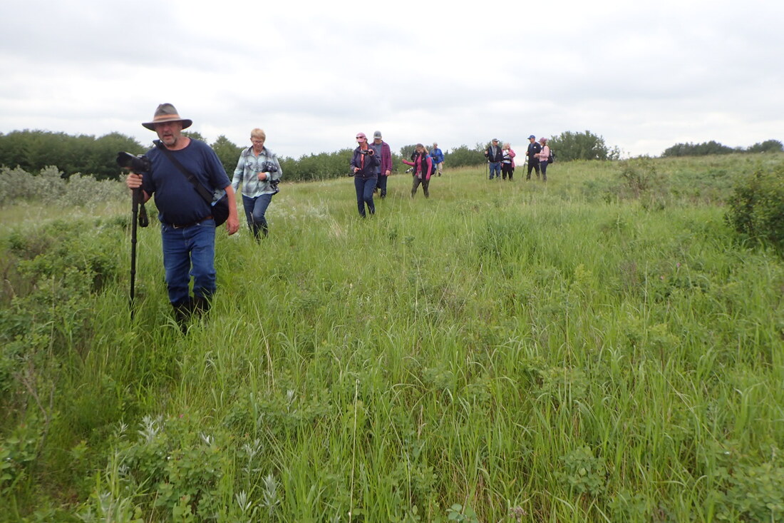
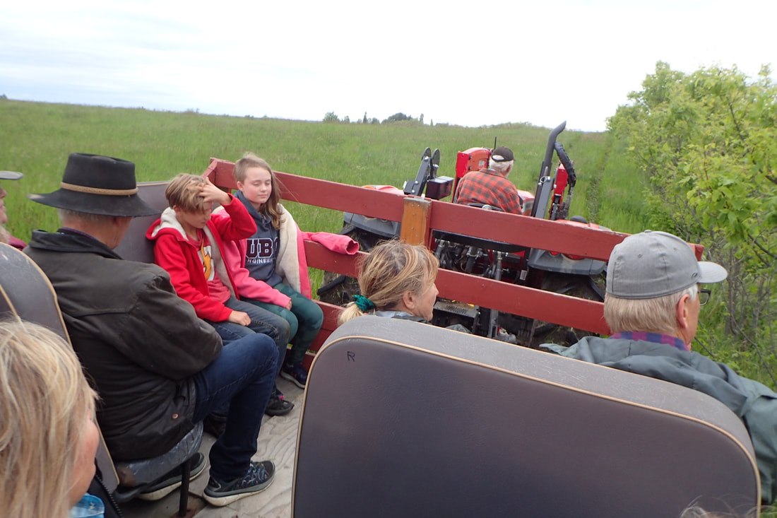
Summer is here, and Nature Central is busy planning our 2022 calendar of events. Join us as we celebrate our wild Alberta parklands and protected areas.
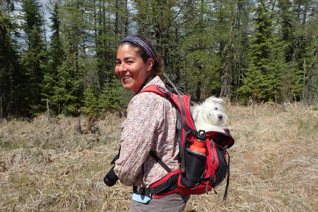
Upcoming June Nature Central / Red Deer River Naturalists Events (see the Events page for full details): Sunday, June 19th at 1PM - Nature Central Nature Walk - Nova Community Nature Trail. Tell a friend, get the word out, and see you there! Thursday, June 23rd at 6:00 PM - Nature Central, Red Deer River Naturalists, and the Alberta Native Bee Council “Pollinator Walk” to celebrate Pollinator Week. Barrett Park, Red Deer. More to come ... Dr. Natalia Lifshitz, our Naturalist-In-Residence, is busy updating and cataloguing the information that was collected last year, has been assisting with summer planning, and has been busy checking sites that weren't visited last summer. With the assistance of her little dog, Patcha, she started the season off by checking several sites in the west country.
Although the cold weather and frequent snowstorms have made it feel like spring has been delayed, the earth is starting to awaken! With the full glory of spring soon bursting forth, now is the time to get outside to enjoy the many beautiful local natural areas in Central Alberta.
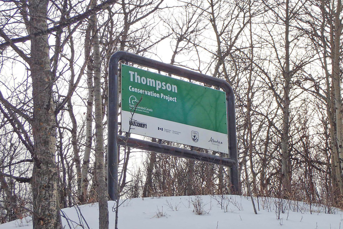
This month, I’d like to recommend three areas northeast of Red Deer, in the Bashaw area. Three rural areas to explore in April: Thompson This dramatic 318-acre site consists of wetland, grassland and native Aspen Parkland habitat. There are no maintained trails, but an oil well road provides access deep into the property. From the oilwell site, follow a trail to the southeast, which leads to a very high hill, affording good views in all directions. Navigation assistance is recommended to explore the rest of the property. To access, go west of Bashaw on Highway 605 for 7 km and watch for large sign on the south side of the road. Park to the side of the oil well access approach. Partners: Ducks Unlimited Canada https://www.albertadiscoverguide.com/site.cfm?grid=E3&number=115 Windsor Lake Windsor Lake is a beautiful little pond that is perfect for quiet wildlife watching, canoeing and kayaking. Despite its small size and being surrounded by farmland, it supports a surprising diversity of wildlife, including an active beaver colony as well as a wide variety of shorebirds (including White-faced Ibis) and waterfowl. It is an ACA stocked pond and has a well-provisioned day use area, including a boat launch, outhouse, picnic tables and garbage bins. To access, go west of Bashaw on Highway 605 for 8 km, north on RR 223 for 1.1 km, then east into the site. Partners: Alberta Conservation Association, Alberta Environment and Parks, Camrose County https://www.albertadiscoverguide.com/site.cfm?grid=E3&number=1 Moltzahn This 118-acre site consists of native Aspen Parkland interspersed with small wetlands. There is a road along the south edge of the property which provides access. Follow game trails to explore the rest of the property. Navigation assistance recommended. To access, go west of Bashaw on Highway 605 for 9.6 km, north on RR 224 for about 1 km. Watch for sign on east side of the road. Park to the side of the approach. Partners: Alberta Conservation Association, Alberta Environment and Parks https://www.albertadiscoverguide.com/site.cfm?grid=E3&number=3 With spring just around the corner, March is a good month to continue exploring some of the beautiful natural areas in Central Alberta while the ground is still frozen. Areas that are too boggy or otherwise inaccessible during the warmer months of the year can still be enjoyably explored. As always, take all necessary safety precautions, especially along waterways. Spring looks like it will be early this year, so water may be running and/or the ice may be thinning earlier than usual.
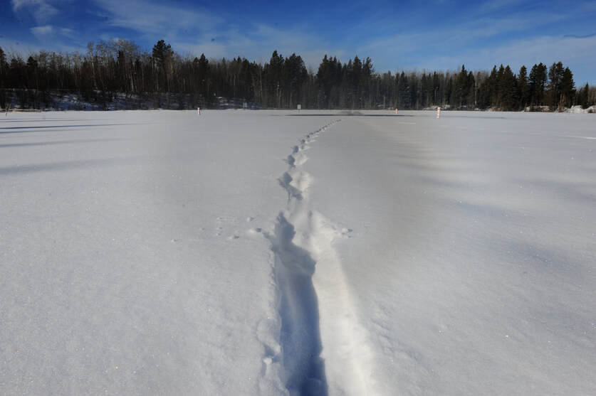
If you don’t already have a copy of the Central Alberta Birding Trail Guide, I recommend you pick up a hard copy at Kerry Wood Nature Centre or check out the online version at https://birdingtrailsalberta.com. With spring just around the corner, now is a good time to start planning your spring outings. Of course, we also recommend checking out this website to find out about the many natural and protected areas are in your neighbourhood. Exploring our own backyard is a good way to reduce the cost of traveling AND enjoy the beautiful natural areas that we have here in central Alberta. Three rural properties to explore in March: Cow Lake – there are two Cow Lake Natural Areas, which together cover a combined area of 968 acres. The largest block is located along the north end of Cow Lake and is accessible from the main day use area/boat launch off Highway 752 west of Rocky Mountain House. There are no maintained trails, but access is fairly easy during the winter directly from the frozen lake. Three oil well sites, several cutlines and other old trails can also be used to park/explore this large tract of white spruce-dominated boreal forest. The other block is very interesting, with several ridges, two small wetlands, a creek along the northeast corner, large aspen forests, large tracts of black spruce-tamarack forest, and a large low-lying area through the middle with a small creek and several abandoned but very large, impressive beaver dams. To access this block, take Twp Rd 384 west of the Cow Lake Store, then angle northwest until the road joins Twp Rd 385. Go west on Twp Rd to RR 85, which heads south to a dead end, then swings west again, ending at a large well site. We parked near the well site and then snowshoed along the small creek bed to the north edge of the property. However, during the spring, summer and fall, a better access point is at the north edge of the property. Park along RR 85 (marked by where the bush starts) and follow the north fenceline/ridge to the east, which will end near the abandoned beaverdams. The poplar and spruce-tamarack forests can be safely explored, but be especially careful along the creek, lowlands and around the beaver dams, even during the winter. Mitchell Lake – this 46-acre site is located within Mitchell Lake Provincial Recreation Area. It is aerated during the winter and is a popular fishing spot. It has a parking lot and outhouses. It is aerated during the winter, so take the necessary precautions. To access, go south on Highway 22, turn west on Twp Rd 380/375A, then south on RR 80. Ironside Pond – this 34-acre site is a good spot if you’d like to explore an interesting frozen boreal forest lake and surrounding wetland. It is aerated in the winter, so take the necessary precautions. Otters have been observed around this pond (see pic of otter tracks below). There are two access points, one from a wellsite on the east side and the other, on the west side, which has a parking lot and a well-marked trail leading down to the pond. To access follow directions to Mitchell Lake (above) but turn north instead of south at RR 80. Follow the signs. A local snowshoe enthusiast, Bob Diewold, leads weekend snowshoe trips to local protected areas. If you are interested in joining in, please contact Bob at [email protected]
|

